Aswar Al-Khaleej offers a comprehensive range of land and engineering survey solutions to support the planning and design of infrastructure and building projects.
Our surveying services cover a wide range of areas, including:
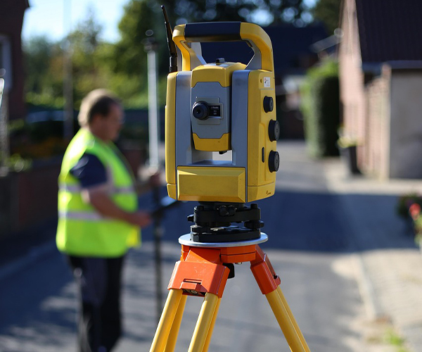
Topographic Survey
Our professional land surveying team collects detailed data on natural and man-made features, as well as land elevations. Aswar Al-Khaleej leverages its expertise and advanced technology to deliver highly accurate topographic survey maps. Many builders and developers in the construction industry trust our surveys to make informed decisions before modifying land or existing properties.
Constructions Survey
Our expert land surveying team collects data on both natural and man-made land features, as well as elevation. Aswar Al-Khaleej uses advanced technology and extensive experience to produce highly accurate topographic survey maps. Builders and developers in the construction industry rely on our surveys for critical insights before making any alterations to land or existing properties.
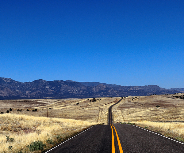
Route Survey
When precision is crucial, choosing the right surveying company is essential.
Aswar Al-Khaleej’s team of experts is dedicated to delivering the highest level of accuracy. We provide the essential data needed for determining alignment, grading, and earthwork quantities for a variety of engineering projects, including:
- Roads.
- Railroads.
- Pipelines.
- Utilities.
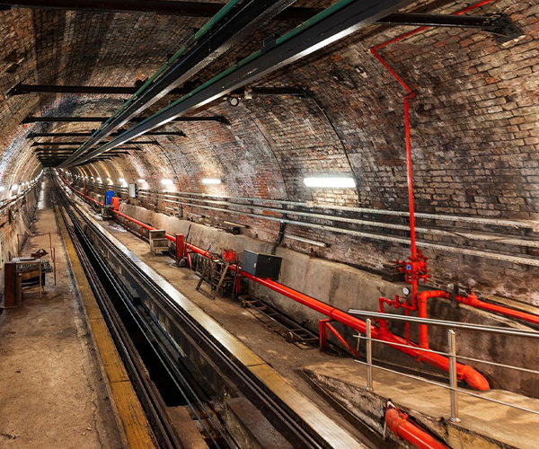
Underground Survey
Aswar Al-Khaleej utilizes integrated utility mapping solutions, combining conventional survey techniques, Global Positioning Systems (GPS), and Ground Penetrating Radar (GPR). Our survey operations extend beneath the earth’s surface, supporting exploration and construction for a variety of purposes, including:
- Structural inspection
- Underground detection and mapping for utility lines of various material types
- Geological investigation.
Laser Scanning
The true 3D data captured by our land surveyors helps save both time and money for our clients. Using advanced scanning technology, we capture detailed interior and exterior structures, whether man-made or natural, and create a comprehensive raw data set in the form of a 3D image, known as a “3D point cloud.” Through laser scanning technology, we deliver:
- High-speed and high-accuracy results.
- 3D models.
- Complete structure geometry captured in High Definition.
Deformation Survey
Aswar Al-Khaleej delivers accurate measurements of structural conditions using ultra-precise equipment. Our advanced tools detect any variations in the fixed monitoring points on a structure, which are then recorded and analyzed for comparative reporting.
We also offer:
- fixed benchmarks and control points locations for later observations.
- Photographic documentation of interior and exterior structural conditions for initial and subsequent measurement changes.
Volume Survey
Aswar Al-Khaleej specializes in the computation of stockpile volumes to deliver detailed material quantity reports. Depending on the required level of accuracy, we utilize advanced technologies such as Total Stations, GPS (RTK), GNSS, and Laser Scanners to ensure precise and reliable results. Volume survey produce:
- Accurate volume of the surveyed materials.
- 2D drawing and map
- 3D model.
Oil & Gas Geospatial Survey
Aswar Al-Khaleej provides a comprehensive range of geospatial services to support Exploration and Production (E&P) activities. Our specialized oil and gas surveying teams are fully equipped and staffed to handle pipeline and E&P projects. We leverage the latest technologies and software to:
- maximize field productivity.
- produce the highest quality deliverables to meet E&P projects requirements.
Crane Alignment
Our certified technicians assess the condition of cranes and runways, using advanced survey equipment to identify and correct any discrepancies. We ensure optimal alignment and performance through precise evaluation methods. The alignment survey includes:
- Measurement of the alignment of the crane runway.
- Calculations based on measured data with proprietary analysis and visualization software.
- 3D and 2D visualizations of the runway rails.
Mining Survey
Aswar Al-Khaleej provides a comprehensive range of mine surveying services for both open-cut and underground operations. By combining proven surveying techniques with our extensive experience, we consistently deliver the highest quality results.
Our solutions for the mine automate processes include:
- Establishment of project survey control points network.
- Topographic Surveys.
- As-Built Surveys.
- 3D Laser Scanning and Modeling.
- Stockpile and earthworks volumes.